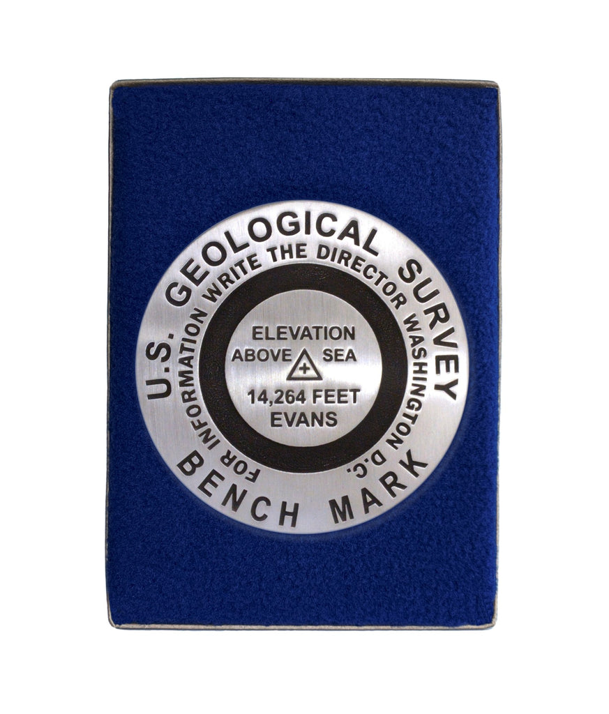
- 3 1/4 inch diameter
- Cast in fine pewter
- Button Felt backing
- In a fitted fleece interior of a clear-acrylic covered gift box.
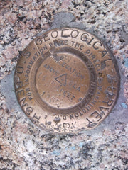
Place Name: Mount Evans
Elevation: 14,264 ft.
Coordinates: N39° 35' 19'' W105° 38' 34''
Location: Front Range, Colorado, USA
MarkerSleuth Photo Contributor: Ryan Fisher
Visitors come to Mount Evans by wheel and foot. The Mount Evans Scenic Byway culminates its constant uphill grade at 14,127 feet. There, by trail, one can continue to its 14,264 foot summit and experience the spectacular vista of Continental Divide. Originally named Mount Rosalie by painter Albert Bierstadt, it was renamed for John Evans, Colorado's second territorial governor. Challenged by severe conditions, North America's highest paved auto road took 20 years to complete. Note: The benchmark is set several feet below the highest point. We have edited the elevation to reflect the historic USGS published elevation.


