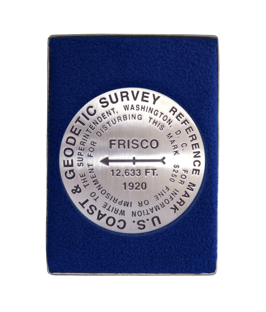
- 3 1/4 inch diameter
- Cast in fine pewter
- Felt backing
- In clear-vinyl covered box
Place Name: Humphreys Peak
Elevation: 12,633 ft.
Coordinates: N35° 20' 47'' W111° 40' 40''
Location: San Francisco Mountains, Arizona, USA
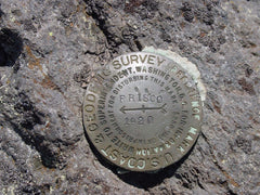
MarkerSleuth Photo Contributor: Joel Hernandez and Jame Willard, 2002
Humphreys Peak is the highest of the San Francisco Peaks which comprise the dominant feature of the southern Colorado Plateau. The peaks rise more than a mile above the surrounding pines and grasslands of Northern Arizona.
Although named after General A. A. Humphreys, Chief of Engineers, U.S. Army, who authorized the 100th Meridian Survey, a General Land Office map showed in 1903 that San Francisco Peak applied to this mountain. This variant name was approved in 1911.
The marker at the summit is stamped FRISCO, short for San Francisco Peak, the variant name.


