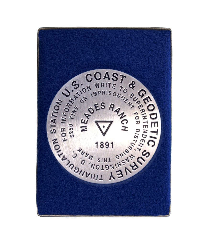
- 3 1/4 inch diameter
- Cast in fine pewter
- Button Felt backing
- In a fitted fleece interior of a clear-acrylic covered gift box.
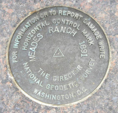
Place Name: Meades Ranch
Coordinates: N39° 13' 26.686'' W098° 32' 30.506''
Location: Triangulation Station, Kansas, USA
MarkerSleuth Photo Contributor: Dave Doyle
In the United States, where you are starts here. At this location, about 12 miles North of Lucas, Kansas, the U.S. Coast and Geodetic Survey established the primary reference point for the North American Datum of 1927, the standard on which all the latitude and longitude lines for North America were based. This datum is being replaced by the North American Datum of 1983, which is not hinged to a single point of reference.


