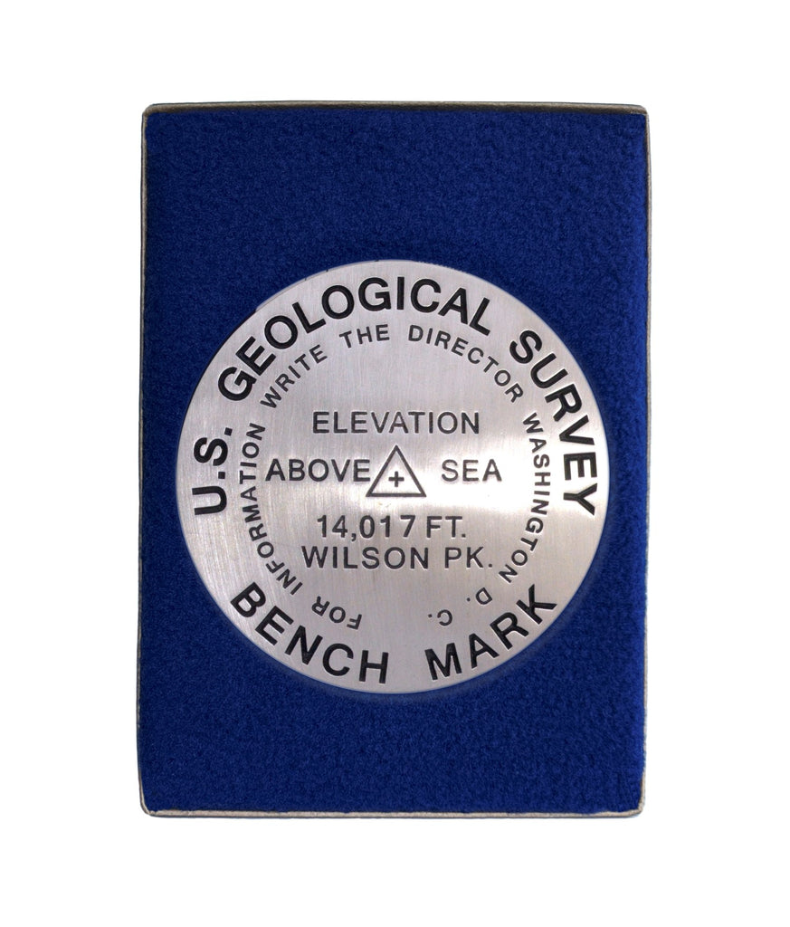
- 3 1/4 inch diameter
- Cast in fine pewter
- Button Felt backing
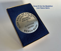
- In a fitted fleece interior of a clear-acrylic covered gift box.
Place Name: Wilson Peak
Elevation: 14017 ft.
Coordinates: N37° 51' 37'' W107° 59' 03''
Location: San Juan Range, Colorado, USA
MarkerSleuth Photo Contributor: No Station Found
Wilson Peak is one of two Colorado 14ers named after A.D. Wilson, the highly regarded topographer and map maker of the Hayden Survey. It is a popular climb, of somewhat less difficulty than its higher neighbors Mount Wilson and El Diente. Until 2011, access to the summit required passage through private land, and was therefore, limited. Ownership is now in the hands of The Trust for Public Lands. The new Rock of Ages Trail restores access through Silver Pick Basin to the Rock of Ages Saddle. Additionally, it is a shorter route to the summit. The photogenic Wilson Peak is often used in advertising photography to exemplify rugged beauty and adventure.


