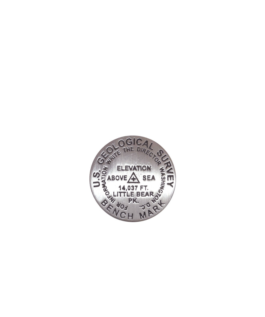
- 1 inch diameter
- Cast in fine pewter
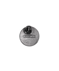
- Military clutch back
- Mounted on story card
Place Name: Little Bear Peak
Elevation: 14037 ft.
Coordinates: N37° 34' 00'' W105° 29' 48''
Location: Sangre de Cristo Range, Colorado, USA
MarkerSleuth Photo Contributor: No Station Found
Among the fourteeners, Little Bear Peak is one of the most technically difficult and dangerous climbs. The journey begins with a drive up Lake Como Road, one of the toughest roads in the state and a challenge most 4WD vehicles may not fully complete. The standard route traverses a section called the Hourglass, known for its nearly vertical granite surface where rockfall is highly probable. Extreme caution and respect must be used.


