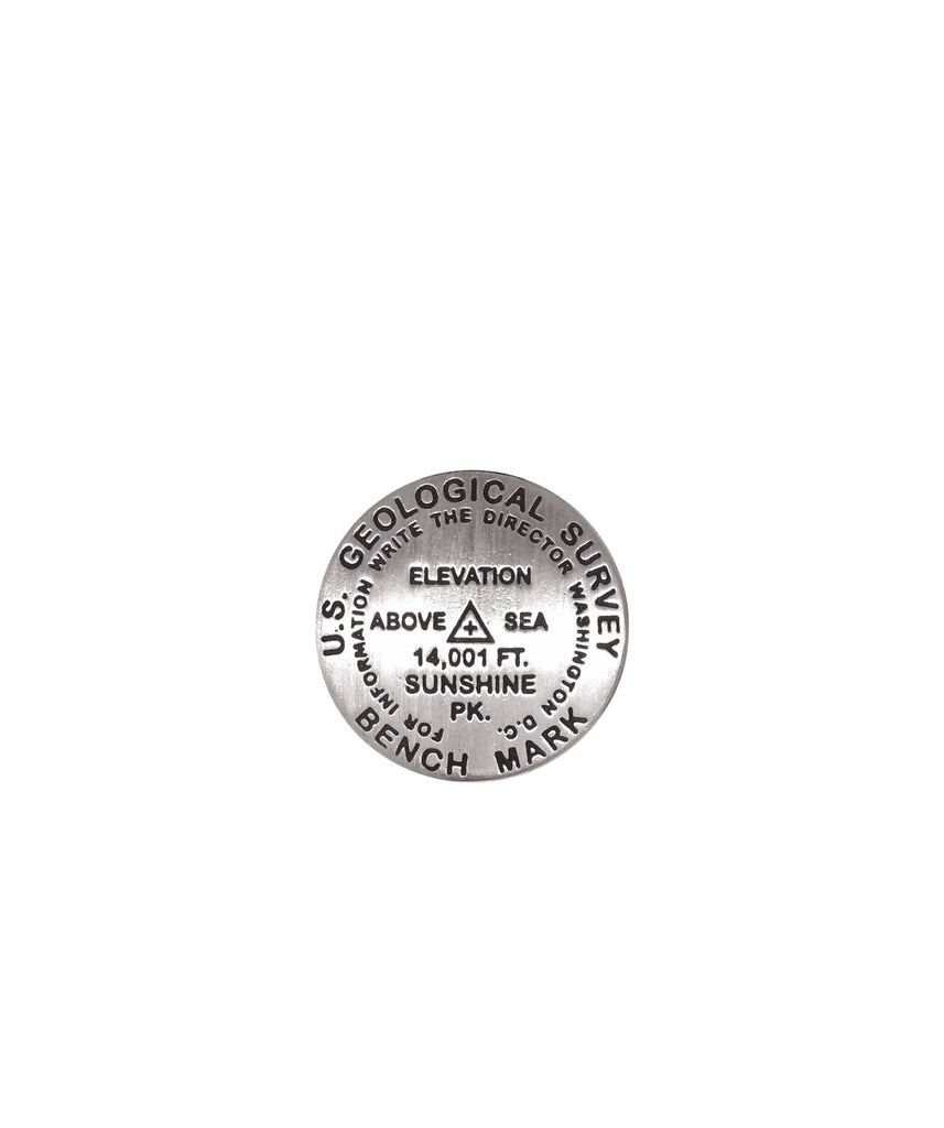
- 1 inch diameter
- Cast in fine pewter
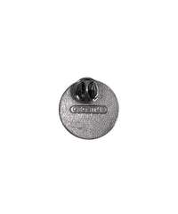
- Military clutch back
- Mounted on story card
Place Name: Sunshine Peak
Elevation: 14,001 ft.
Coordinates: N37° 55' 22'' W107° 25' 30''
Location: San Juan Range, California, USA
MarkerSleuth Photo Contributor: No Station Found
Sunshine Peak is notable for its symmetrical cone shape. It is among a cluster of 14ers in the western part of the San Juan range. The first recorded ascent was in 1874 by A.D. Wilson and Franklin Rhoda of the Hayden Survey. It was designated "Station 12" until 1905 when it was officially named Sunshine Peak. Its historical elevation of 14,001 feet places it 54th among the Colorado 14ers.


