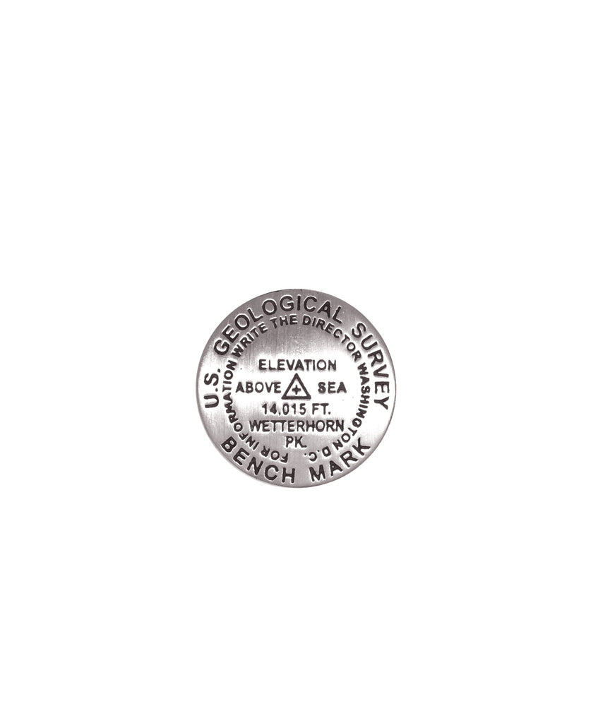
- 1 inch diameter
- Cast in fine pewter
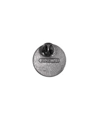
- Military clutch back
- Mounted on story card
Place Name: Wetterhorn Peak
Elevation: 14,015 ft.
Coordinates: N38° 03' 38'' W107° 30' 37''
Location: San Juan Range, Colorado, USA
MarkerSleuth Photo Contributor: No Station Found
Many early ascents were made by members of survey parties for the purpose of mapping. Such was the purpose of an ascent of nearby Uncompaghre by the Wheeler Survey in August of 1874. From that vantage point, Wetterhorn Peak and others were mapped and named, several after Swiss mountains. The first recorded ascent of Wetterhorn was much later. In 1906, a party of four including D. Utter, George Barnard, W.P. Smedley, and C. Smedley, achieved that distinction. Unlike many 14ers, the slopes of Wetterhorn and nearby Uncompaghre, were not heavily mined. Mining was largely confined to the valley of Hensen Creek. Wetterhorn Peak ranks 49th among the Colorado Fourteeners and is considered to be a difficult climb.


