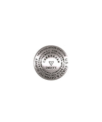
- 1 inch diameter
- Cast in fine pewter
- Military clutch back
- Mounted on story card
Place Name: Mount Cheaha
Elevation: 2,407 ft.
Coordinates: N33° 29' 08'' W85° 48' 31''
Location: Talladega National Forest, Alabama, USA
MarkerSleuth Photo Contributors: Jill Moyers Smith
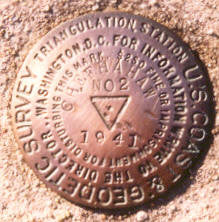
Mount Cheaha, meaning “high place,” is the state high point of Alabama; it is located in Cheaha State Park in the east central part of the state. It is a popular destination for locals, tourists and the Highpointers Club. The survey mark at the summit bears its alternate spelling, “CHEEHAHAW.” A 360 degree view can be enjoyed from the observation deck of the stone Civilian Conservation Corps building.


