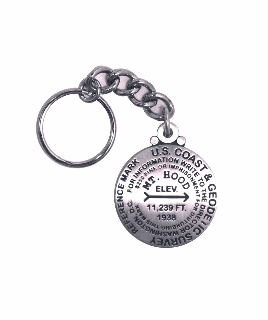
- 1 1/4 inch diameter
- Cast in fine pewter
- Split ring attachment
- Mounted on story card
Place Name: Mount Hood
Elevation: 11,239 ft.
Coordinates: N45° 22' 25'' W121° 41' 33''
Location: Mt. Hood National Forest, Oregon, USA
MarkerSleuth Photo Contributor: Mike Rougeux
Mount Hood dominates the landscape and the hearts of all those who view it in the vicinity of Portland, Oregon. It is one of the highest peaks of the Pacific Northwest and one of the most climbed mountains in the United States. It was first climbed in the year of 1857.
Its perfect conical shape rises 11,239* feet. Geologists agree that, like all the Cascade volcanoes, it is in a dormant stage. The last eruption was in 1866. It is situated in the Mount Hood National Forest--47,100 acres of protected wilderness. Its alternate name, Wy'East, comes from Native American folklore. Wy'East was a son of the Great Spirit.
*Current surveys established 11,237 feet as the elevation. This medallion displays the historical elevation, 11,239 feet. This product has been revised based on a photo of the marker.


